


Description
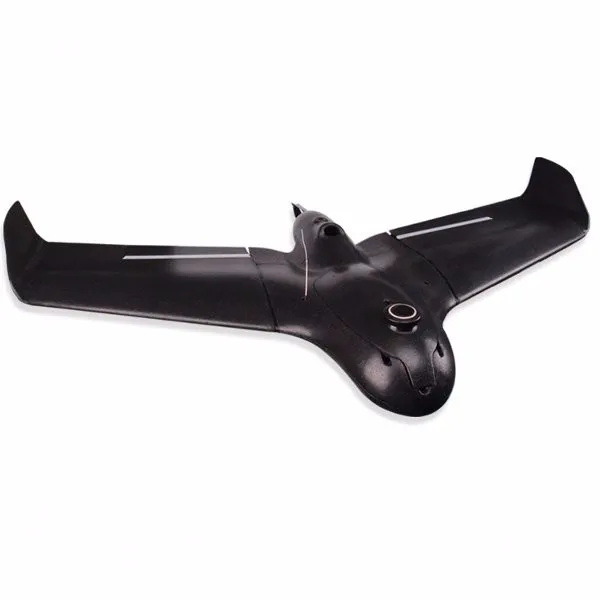
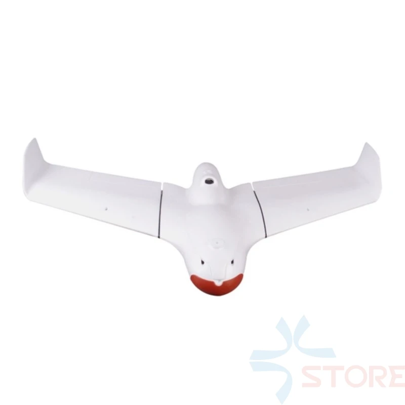
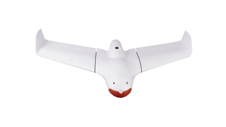
Skywalker X5 Pro 1280mm Wingspan EPO FPV Flying Wing RC Airplane Kit / PNP for Aerial Surveying and Mapping
Features:
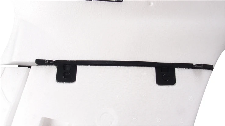
– Imported EPO foam material, light and durable.
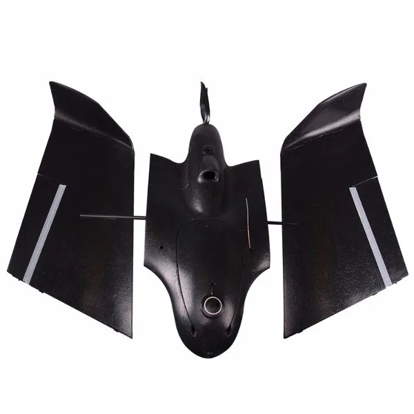
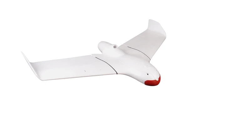
– Modular design,small size, easy to carry, plug and play.
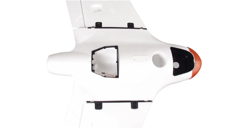
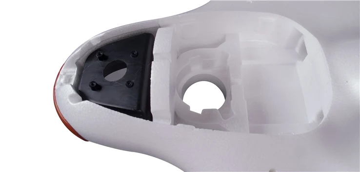
– Super big cabin,with parachute bay,camera slot,GPS and other professional equipments placed platform.
– Special airfoil design, small resistance, long range, flexible flight and accurate control.
Specifications:
| General | Brand Name: Skywalker Item Name: X5 Pro Material: EPO |
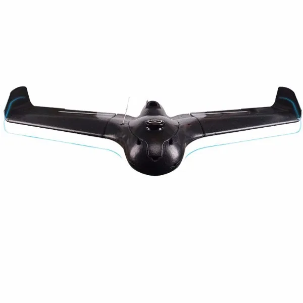
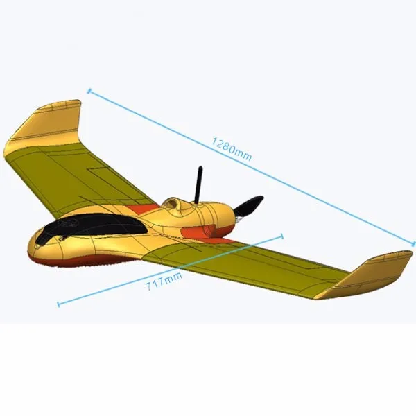
| Dimension and Weight | Wingspan: 1280mm Overall Length: 717mm Flying Weight: 1800-2500g Wing Area: 44dm⊃2; |
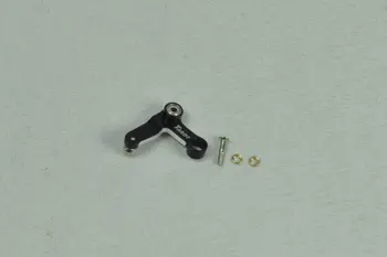
| Electronic Devices | Servo: 12g*2 Motor: 2816 840KV ESC: 60A Battery: 4S 14.8V 5200mAh(Not included) Propeller: 1060E Radio System: 2.4G 3CH(Not included) |
| Others | CG (center of gravity): 310-320mm behind the nose Minimum Age Recommendation: 14+ Experience Level: Intermediate Recommended Environment: Outdoor Is Assembly Required: Yes Take – off Mode: Hand throw,catapult launch Landing Mode: Downhill,Parachute |
Note:
This is the PNP version,not includes the transmitter,receiver,battery and charger.Kit only include EPO frame,don’t include any electronic equipment.


Reviews
There are no reviews yet.